
Utah is a desert. Only within about ten miles of the major mountains is there enough water to support sizeable populations. Water for crops has always been scarce. During the summer months after the snowmelt has flowed downstream, springs dry up and rivers run low.
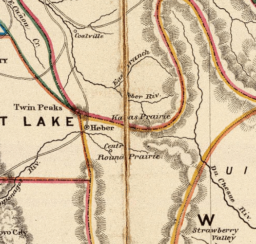
Four of Utah’s most important rivers – the Bear, Duchesne, Provo and Weber – rise in Summit County, fed by snowfall in the mountains during a normal winter. In Kamas Valley settlement followed the Weber and the Provo, and settlers dug ditches from the rivers to irrigate their fields. Water was so important that digging and maintenance of ditches and canals was often directed by local bishops. The bishops also distributed the water according to who they thought most worthy.
From 1861 many of the settlements of Summit County petitioned the Court for individuals or small groups to have the right to take water from the Weber River. From March 1861, water masters began to be appointed. In 1871 there was a severe drought in Summit County, which may have led to the formation of irrigation companies.
In Peoa farmers built two canals from the Weber to irrigate Sage Bottom around 1861, extended by the New Field Canal in 1868 and again in 1881 by the North Bench Canal. Rhoades Valley, as it was then known, drew its water from the Beaver, Shingle and Thorn Creeks, tributaries of the Weber.
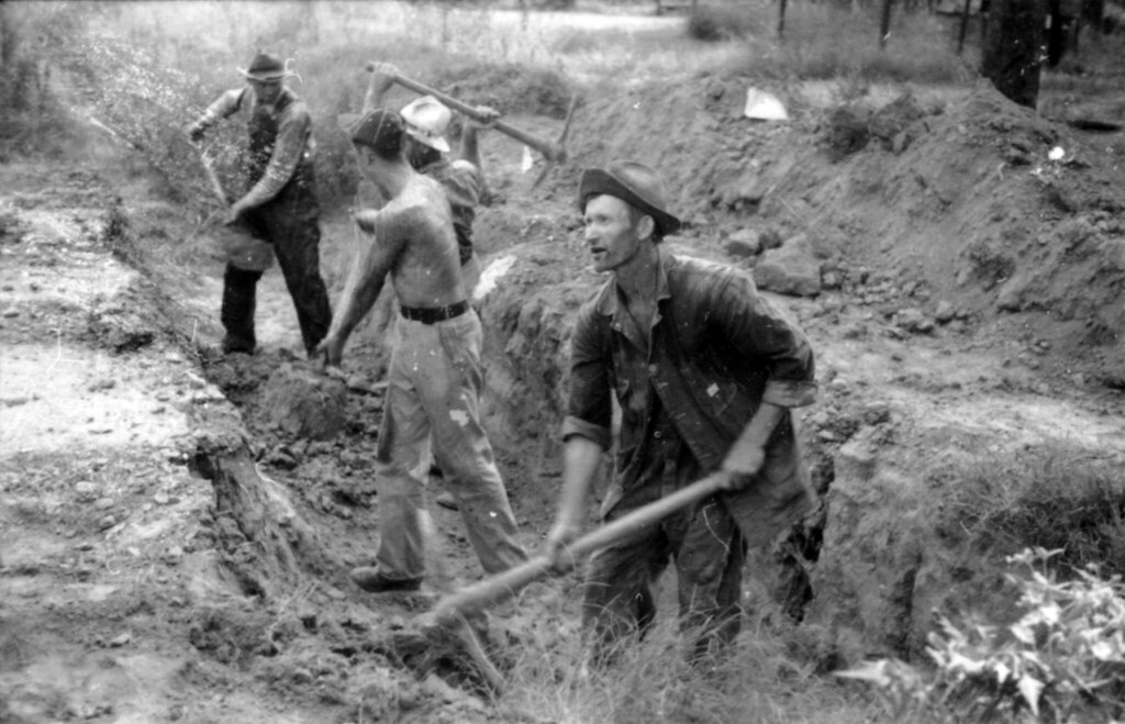
Francis was the last area of Kamas Valley to be settled, in part because of the lack of water. There were a few springs at the northern end, but to the south end it was necessary to dig a canal from the Provo – 134 feet – using only picks and shovels. Settlers were granted shares in the South Kamas Irrigation Company according to the amount of work they did, and water began to flow in 1873. In 1885 the Washington Irrigation Company was formed and another canal dug. When water was released into it, it leaked like a sieve and had to be lined with clay, a process that had to be repeated yearly.
As population grew, so did the demand for water. Towards the end of the century, water was becoming scarce. In 1889, the US Senate formed a special committee to look into irrigation in arid lands under eminent explorer and director of the US Geological Survey, John Wesley Powell. Powell’s eventual report recommended irrigation systems and state boundaries based on watershed areas, and low-density agriculture in the arid West.

Thanks mostly to lobbying from the railways, who wanted to cash in on the vast tracts of land they owned in the West, Powell’s work was largely ignored.
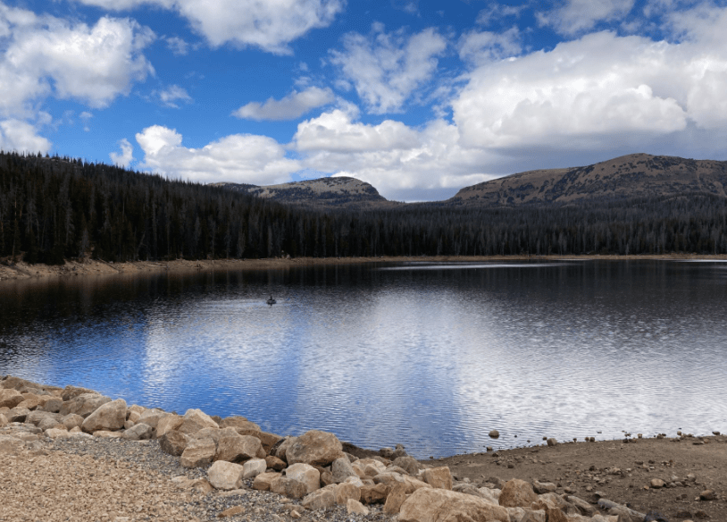
But not perhaps by everyone. Around this time Daniel Mitchell, first Bishop of Francis, recounted a dream in which he was in the mountains and saw a way in which the natural lakes could be dammed, their water stored, and brought down to for use.

Daniel and James Prescott, president of the Washington Irrigation Company, approached Joe R. Murdock, president of the Wasatch Stake and a water engineer, and in 1889 the largest accessible lake at the head of the Provo was successfully dammed. The dam washed out the next spring, but it was an important trial, and the lake in question was named Trial Lake. The dam was rebuilt and another lake, Lake Washington, was dammed. The first reservoirs in Utah had been built.
History gives Heber credit for the reservoirs, but we know that every great accomplishment starts with a dream.
- Sources
- Bev Bemis
- Deb Lambert
- Mountain Memories: A Book of Remembrance 1848-1986
- A History of Summit County by David Hampshire
- Wikipedia
- Family Search
- Utah Division of Water Rights
- History of Reservoirs on Upper Provo River by John C. Clegg
- Mitigation Commission
